
UAV & UAS
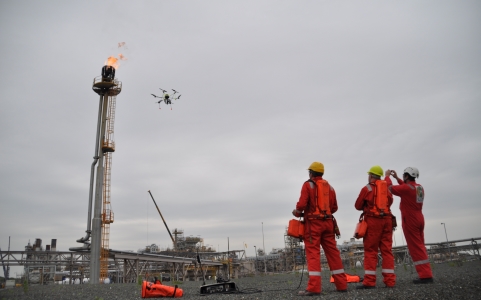
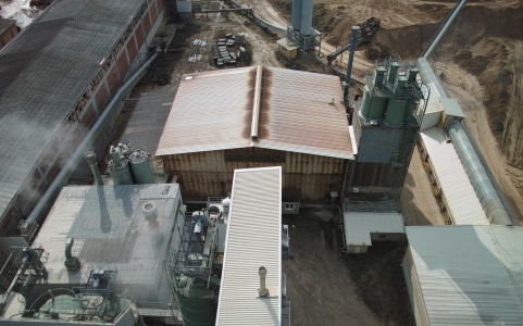
The Drone Module in TERRA 4D offers state-of-the-art features that support advanced drone applications within any kind of safety and surveillance projects. Security operators receive critical information in real-time and are able to assess and resolve incidents efficiently. Features like drone control, sending drones automatically to target coordinates, multiple object tracking, time machine, workflow and incident reporting, localization and virtual visualization are a few of many helping operators to react immediately and efficiently on security incidents.
Thanks to the 3D GIS model the intuitive and field-approved user interface provides superior situational awareness in all circumstances. The TERRA 4D platform links drones and subsystems seamlessly together. This integration and unification of all subsystems enables acquisition and analysis of all information as one central entity to allow comprehensive and effective protection of critical assets.
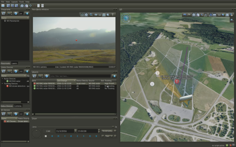
Mission Control
Managing complexity and maximizing operational efficiency, safety and security in any type of solution utilizing the TERRA 4D mission control module.
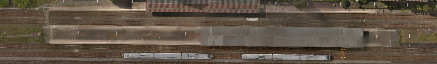
- Visualization of current drone position and historical positions
historical positions - Recording of drone positions on ground
- Send drone to target coordinates
- Report drone status (state of health)
- Live video transmission from the drone, video recording on ground
- Visualization of feld of view of the camera
- PTZ control via target coordinate (e.g. track radar object)
- Determine object location (lon., lat. elev.), speed, direction and size from video image
- Get address by clicking in the video
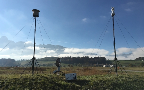
Detection
TERRA 4D provides an Integration Platform for automatic drone detection solutions that aggregate and correlate various subsystems to visualize drone threads and helps operators to automatically release actions:
- All-embarcing system solution that unites individual components and manages them using user-friendly software
- Modular system easily extendable with additional sensors to monitor the airspace 24/7
- Simple confguration and correlation with other subsystems
- Maximum alarm response and notifcations in real-time
- Precise identifcation of causes
- Guided intervention and incident reporting
- Time-synchronized recordings for later playback
- Superior situational awareness through the TERRA 4D GIS based GUI
Datasheet
Learn more about our UAV & UAS Solution in the datasheet: